Saturday, September 29, 2012

Time seems to be speeding up! We haven't done a great job of keeping up with our blog since going back to work (sorry!).  Way back in August Josh and Chuck visited us for week.    
 
 
The Allton boys back together one last time before the old man ships off to Azerbaijan.
We drove north up the Matanuska valley for a day of lake fishing strangely with no luck.
 Spent a day hiking in Hatcher's pass, the blueberries were just starting to come in.
 After two days we headed out for the Kenai penninsula for some world class salmon fishing.
 I grew up thinking fishing was stupid and boring. My first Alaskan salmon made a convert out of me for life.
I think fishing in Alaska has that affect on you, even Josh...


Exploring the Talkeetna range on a gorgeous day.
 
 We headed north after a succesful Kenai trip and canoed down Willow creek.
 
 Saw thousands of spawning salmon, bear tracks and took home a few 16" rainbow trout.
 This King would have been a good catch!...if we had caught it a month sooner before it spawned and died.
 Willow creek was a tough float with a lot of sweepers and bottlenecks but the allton bros navigated it succesfully.
Picking Blueberries 
 While the boys were fishing down on the Kenai, I went backpacking with Katherine and her dog Lola.  We did a one night trip up to Reed Lakes in the Hatcher pass area.
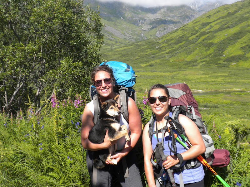


Beautiful weather!
 
 Lola is a bit of a princess and she expected to be carried across the boulder field.  She would cry for Katherine to pick her up.
The fog started to roll in so we decided to set up our tent and then hike up to the lakes.  You can barely see the yellow spec of our tent.


We had a short break in the clouds to actually see the mountains around us.  It only lasted for a few minutes because shortly after we were being pelted with hail and rain.  Our goal was to make it up to the B52 bomber crash site on the mountain but we were too soaked. 
 

Waterfall on the hike down.  Katherine and I didn't realize how difficult it would be with two wet dogs and ourselves in a 2 person tent.  It was a bit challenging but we eventually dried out.  We cooked dinner right outside the tent and had a few close calls with the tent almost being lit on fire haha.  


Leaving camp, walking back into the fog.
 

Sunday, August 26, 2012

School has started for Kristen which means that things have become busier and we're back to our familiar routine.  Nate is planning to continue substitute teaching while he looks for a job that is more up his science alley.  It's been a nice escape to look back on our summer pictures and remember how it was a chaotic non-stop adventure.  After we watched our families fly home we had an additional week with Jay to go backpacking in the Wrangell St. Elias National Park.  The park is the biggest national park in the United States with a total of 13,175,799 acres.  It's incredibly difficult to access much of the area because there are only two roads in the park.  Therefore, an air taxi dropped us off and we would have to trust that it would come to pick us up 4 days and 35 miles later.  We took a SPOT satellite radio with pre-programed texts in case we ran into an emergency, which gave our parents piece of mind as they watched our progress on google maps.  It was by far one of the most amazing trips we've taken and as we were flying back everyone was talking about where we would be going next summer.  Here are some of the pics.

We drove out to McCarthy and camped before flying out.  The tiny town is surrounded by glaciers.
 
The guy in the cowboy hat is our pilot, Gary.  He's known as the cowboy of the Wrangells and he's a bad ass.
 
 
Climbing into the plane was like flashing back to the 70's.
Looking back at the Root and Kennicott glaciers.
The Chitistone River.
 
Wow.


The flight in was breathtaking.
Coming in for a landing.

Gary leaving us!
 
Beautiful day hiking towards the Russell glacier.
Jay and Nate look camouflaged with their green backpacks.


Hmmm, where are we?  This was a common ritual throughout our hike because there are no maintained trails in the Wrangells.
 
There was still quite a bit of snow in the high country
Looking down at skolai pass where we landed before heading up chitistone pass to the chitistone valley.
 
 
Once again cheicking the GPS for our route.
Glaciers everywhere!


Jumping for Joy on Chitistone pass.
Looking down Chitistone valley.
 
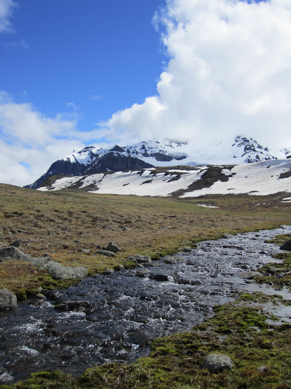
Reminds us of a Colorado valley except for the glaciers and the extreme isolation.
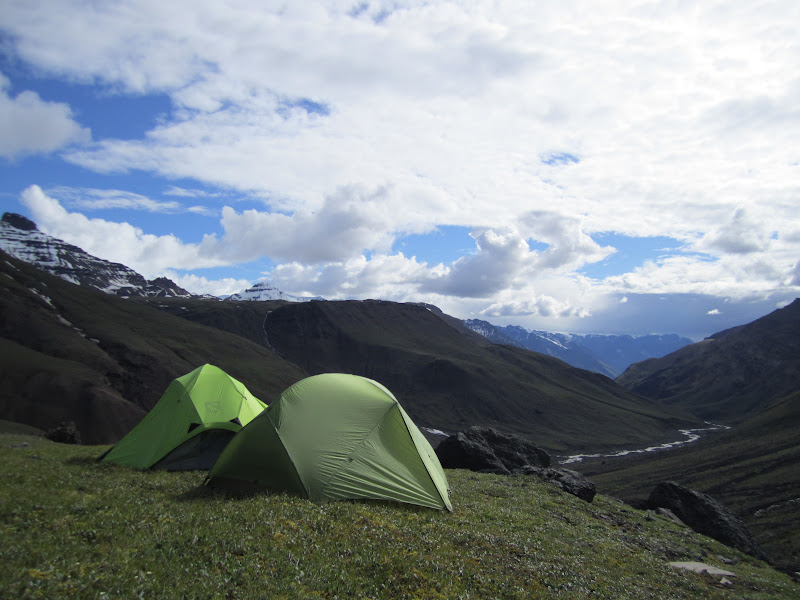
First night's camp.
 
A wolf track.
Sadly, this is where Kristen lost the extra battery for her camera.  Which meant we had to be very picky with any pictures that we took the rest of the trip.  
There were a disturbing amount of bear tracks in this valley. Pretty much any sandy area had visible bear tracks.
Our first real obstacle was the goat trail section. The chitistone valley turns into a gorge with a four hundred foot waterfall. The only way out of the valley is to head high and into the scree fields you see behind Nate. The only creature brave enough to trek across these is the mountain goat.
We had to venture across five gulleys on the goat trail each with a lot of exposure. The last of these gulleys was called the gulley of death, much to our discontent.
 
Big smiles after crossing the gulley of death!! Our guide book said of the scree fields, "red is dead, yellow is mellow". Red would've been dead but yellow was anything but mellow.
The views on the otherside of the goat trail were world class...words can't describe the magic of this place.
Our camp 2nd night. This picture looking to the West was a massive glacier valley. To the North was Chitistone gorge and falls. To the south was the massive Chitistone valley and to the east was another unnamed waterfall.
Looking north at chitistone falls.
The only Grizzly we encountered on the trip was a very good bear. He got within 100 yards of us before we noticed him crossing the chitistone river and made ouor presence known. He took off, stopping every so often to check us out.
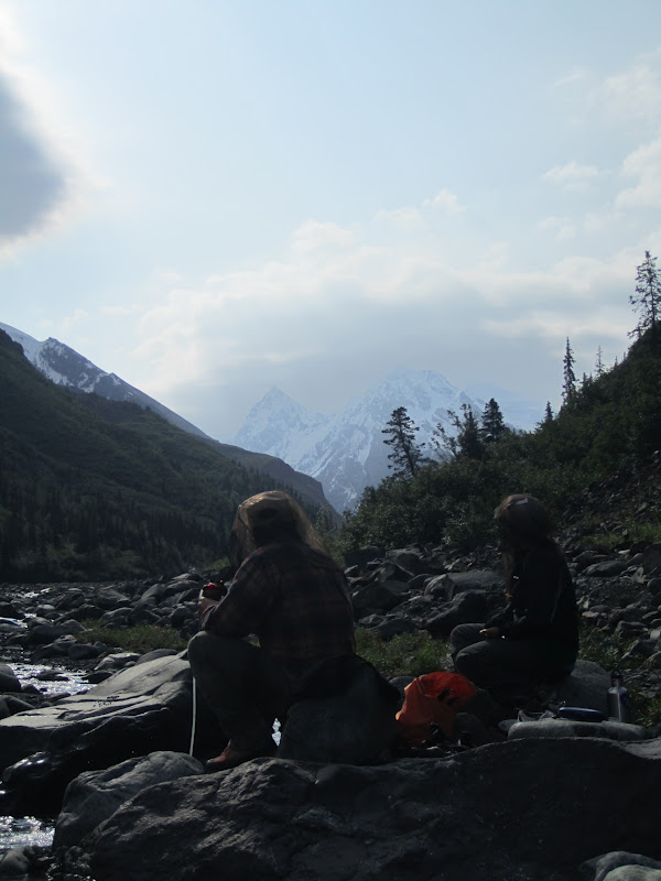
Stopping for water after a river crossing. We had 6 glacial river crossings in the chitistone valley and since our weather was so nice, the rivers were swollen and crossings were difficult. We had to use the chain link crossing method as a unit.
A public use cabin at our endpoint. It had only one window which had iron bars on it. We slept very well, especially since Jay and Nate had stayed up all night the previous night due to the high bear activity at our 3rd campsite.
Gary come to rescue us on day 5!
The Chitistone valley on our flight out.